Koncheto Ridge in Bulgaria is a must-visit for hikers who like living on the edge. This narrow, knife-edge trail located in Pirin National Park is an exhilarating adventure that rewards with stunning panoramic views and a serious adrenaline rush.
The ridge itself spans about 400 meters, with drops plunging over 1000 meters on either side. The name “Koncheto,” means “little horse” in Bulgarian, to reflects how hikers would straddle parts of it like a horse to get across, before the metal safety cable was installed.
Koncheto Ridge is considered a difficult hike, but if you are physically fit, with no mobility issues, and comfortable with heights and the amount of exposure, you should be fine.
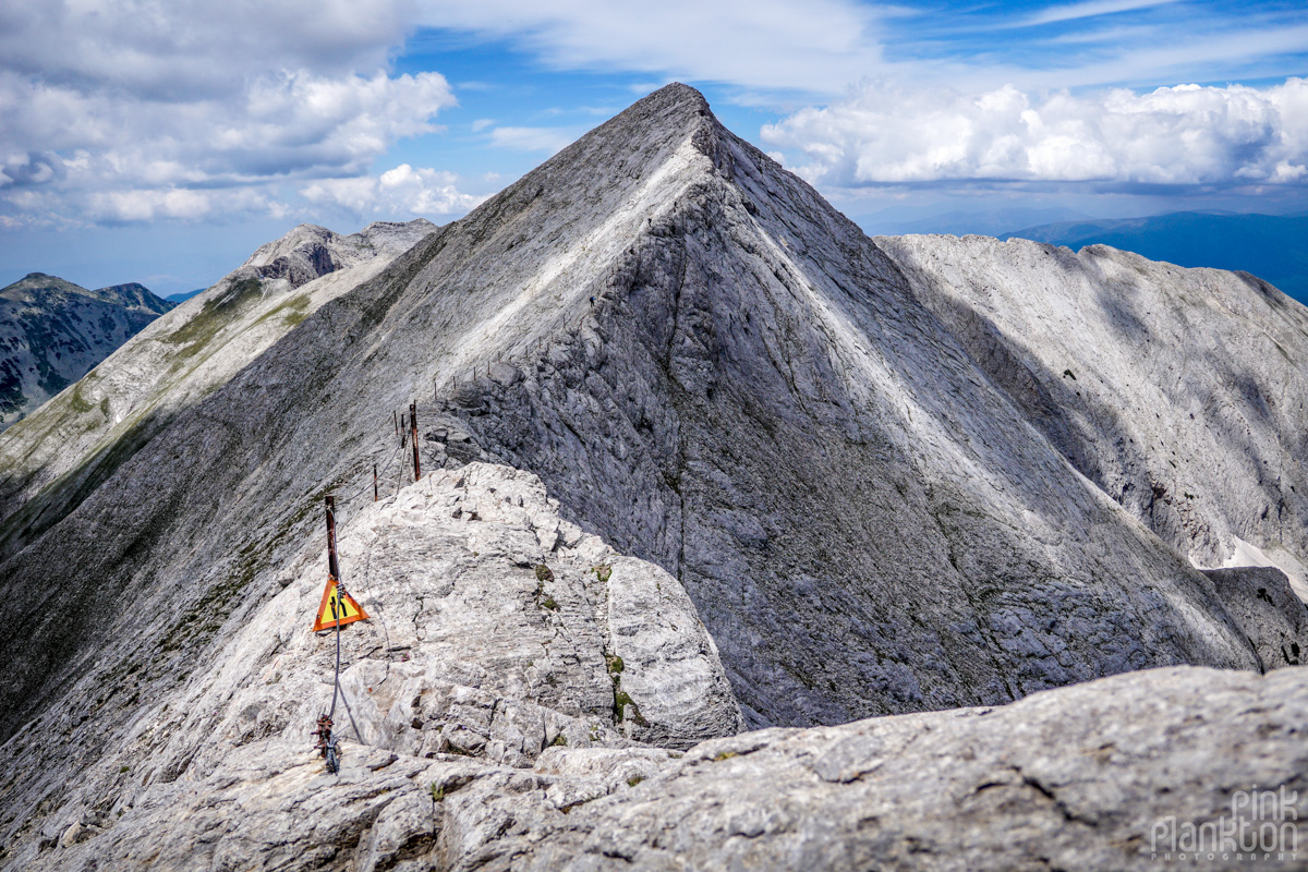
How to get to Koncheto Ridge
If you're staying in Bansko, you can take the public bus to Vihren Hut, which is the start of the trail. Here is the timetable. I recommend taking the earliest one so you can arrive by 9:30am. This hike took me all day and I almost missed the last bus back at 6pm.
You should familiarize yourself with the route beforehand and decide if you want to summit Vihren Peak (the highest peak in Pirin National Park) the same day or not. I aimed to complete this trail (also pictured below). The part that is sticking out of the loop at the top is Koncheto Ridge.
I chose to turn right and go counter-clockwise on the loop so I would hike the ridge first. By the time I got back down from the ridge (to where the loop continues), I knew I did not have the energy nor time to summit Vihren. It was already 3pm (although I take many photo breaks) and I was tired as I had gained about 1000 meters in elevation, so I went back the same way I came.
I've read here turning left on the loop to go clockwise is an easier route, so maybe that is the way to go if you want to summit Vihren first. But if you go the way I did, I think doing both in one day is just too physically exhausting. I'm a pretty experienced hiker but by the end of this hike my feet and legs were killing. There is a lot of very rocky area and some steep parts on the downhill where you need to be careful and take your time.
Photos
I absolutely loved this hike. The feeling of being surrounded by such huge mountains and steep drops is surreal. Here are some of my favourite shots:
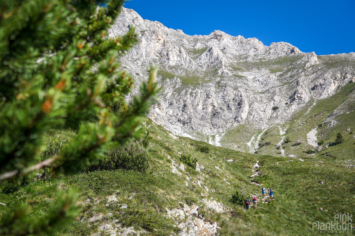
The scenery is really beautiful right off the bat.
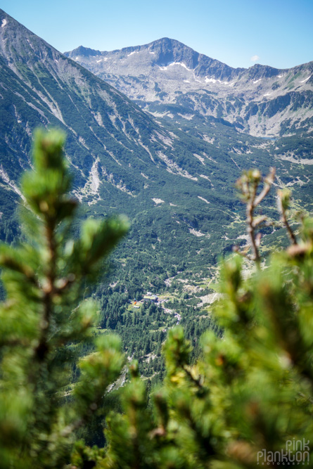
This is the view of Vihren Hut (really small near the bottom) about 45 minutes into the hike.
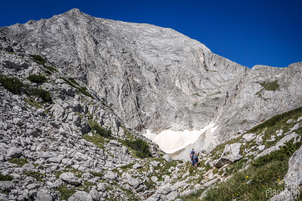
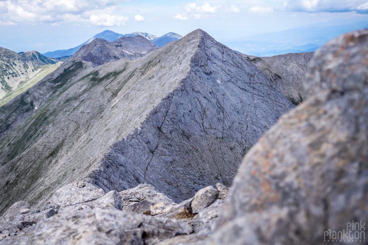
There she is!
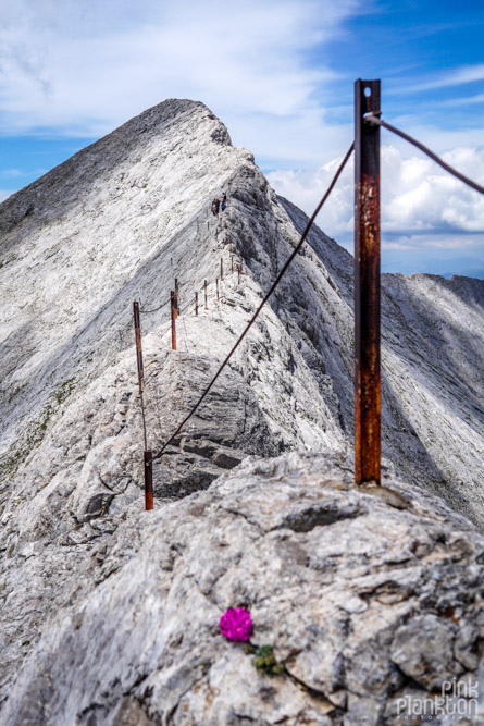
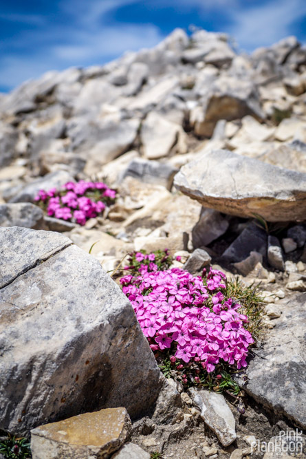
I find it amazing how these colorful flower can flourish seemingly out of rocks and at such high elevation!
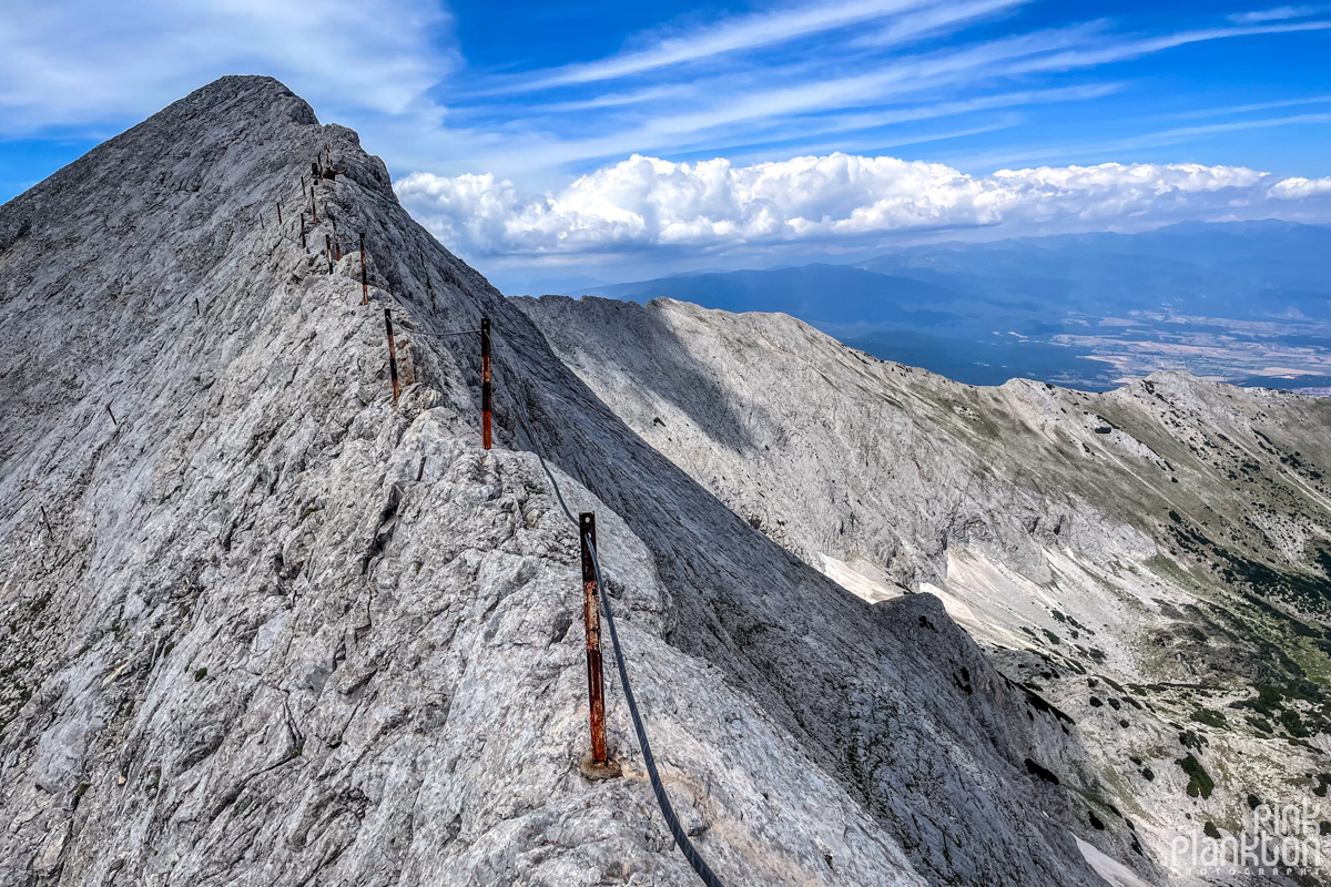
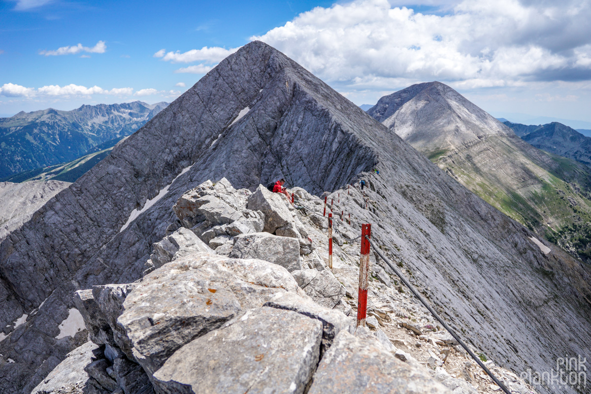
While much of the ridge is a knife-edge, there are some areas where it is wide enough to sit, relax, and take in the views.
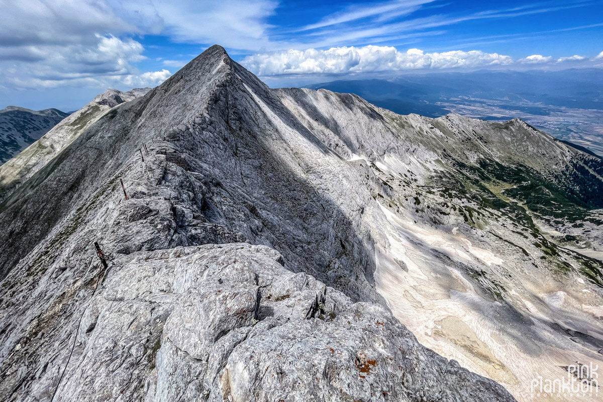
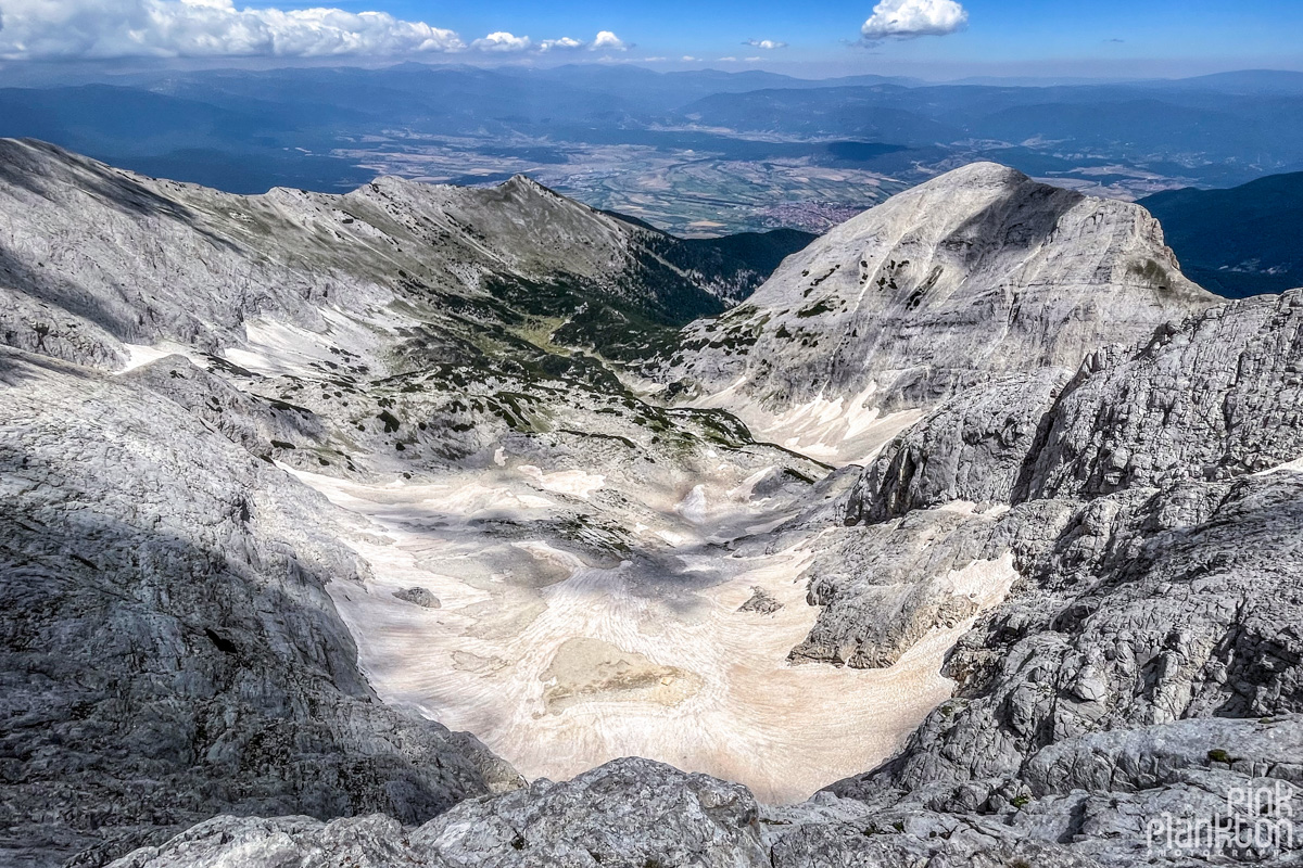
That's Bansko way at the back.
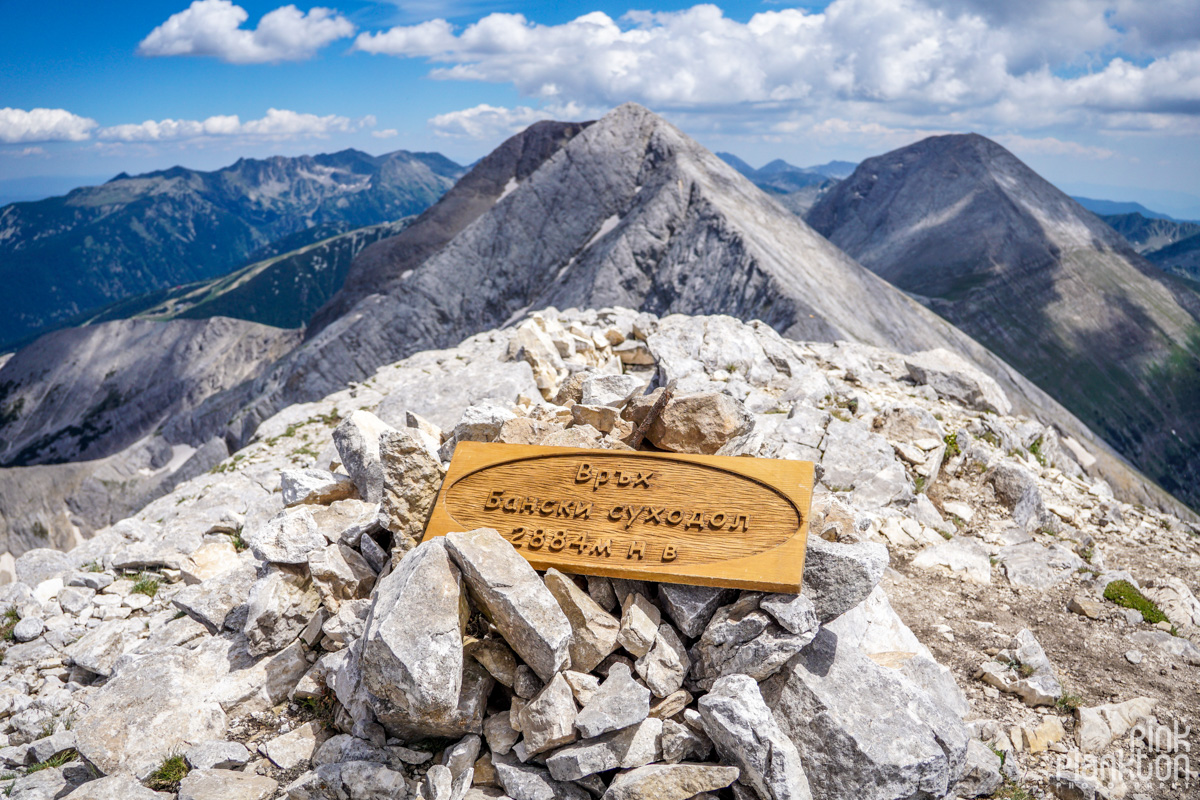
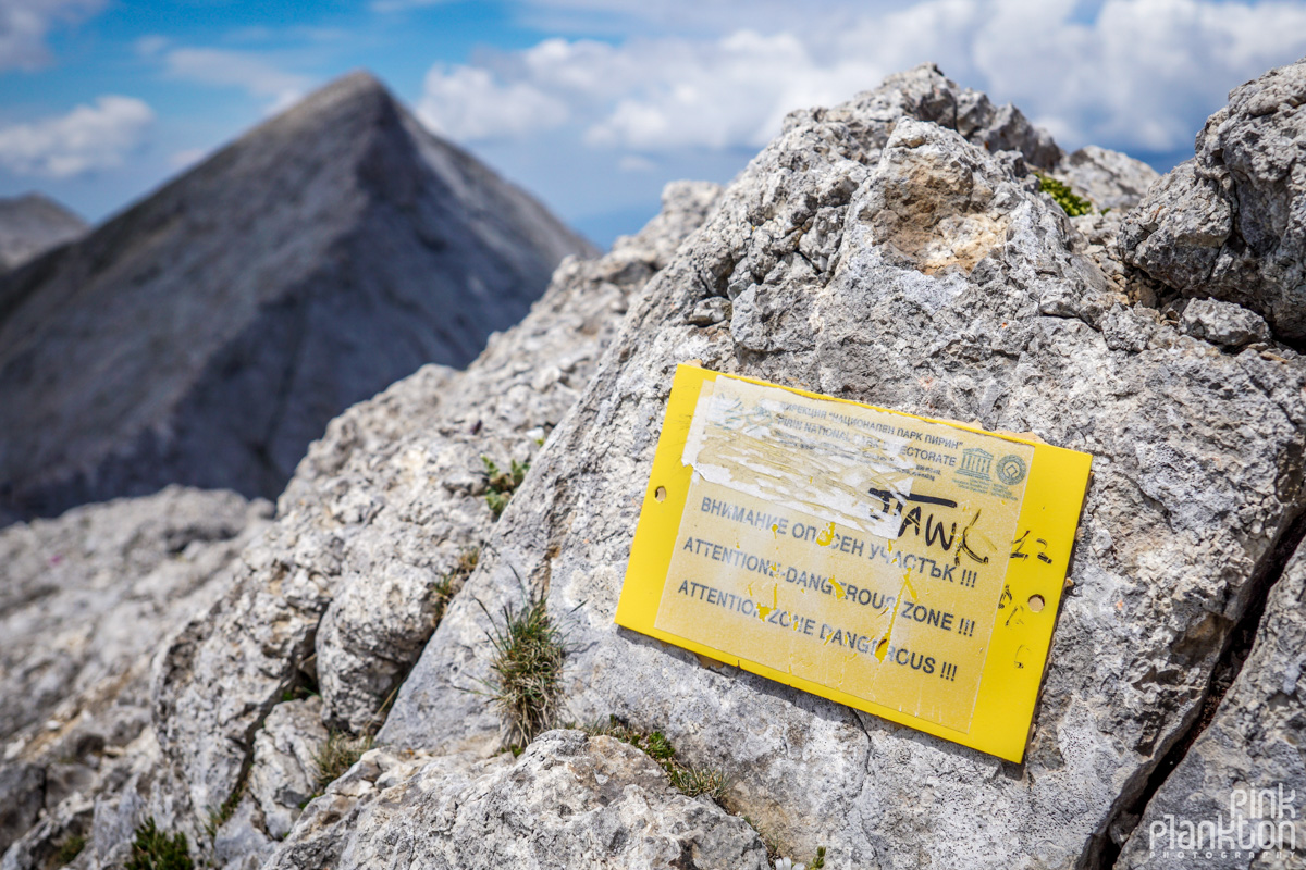
This is at the end of the ridge. The sign says Banski Suhodol Peak, 2884 meters above sea level. I like how the peaks have these signs that you can hold and take a picture of.
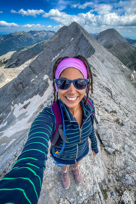
But I hiked this trail solo, so selfie it is! There were not many others on the trail, but enough that I felt comfortable if something happened I would be able to get help.
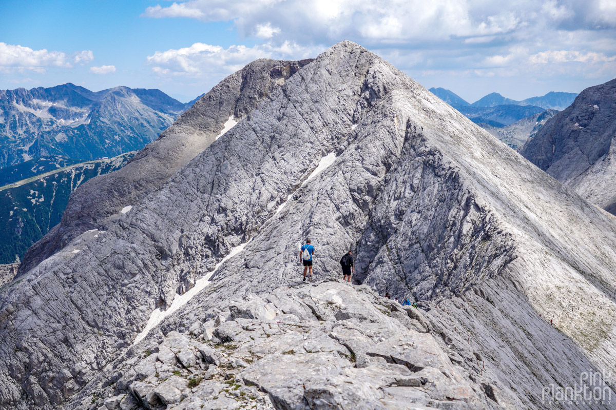
One last look back at the ridge.
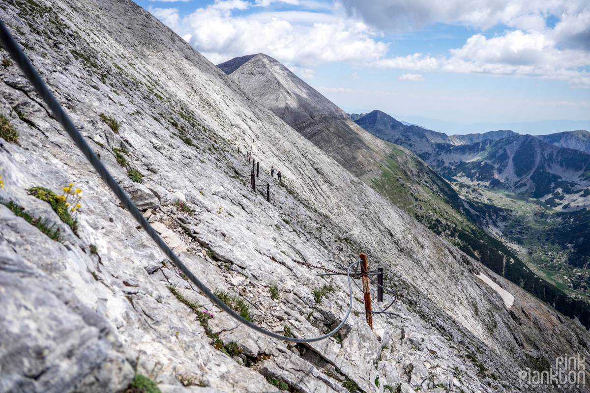
On the way back I wanted to see some new scenery instead of going along the ridge again, so I followed this route back down and it was honestly the most terrifying part of the hike. It doesn't look that bad here but it's very slanted steeply and with very loose rocks. I wouldn't trust the safety cables here, they are not in good shape, and at some point they end. I recommend going back along the ridge and then down the normal path, it's easier.
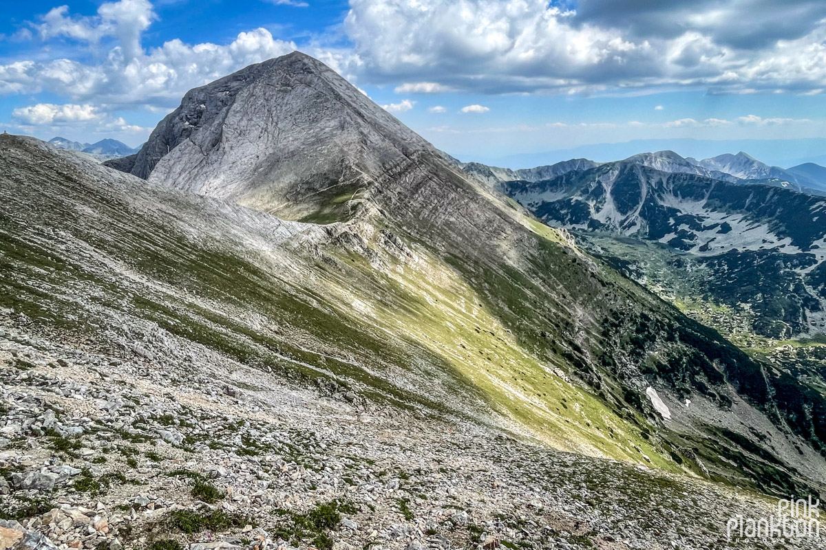
The view of Vihren Peak from the sketchy trail I took back. Again, this doesn't look sketchy in the photo but it was super sketchy.
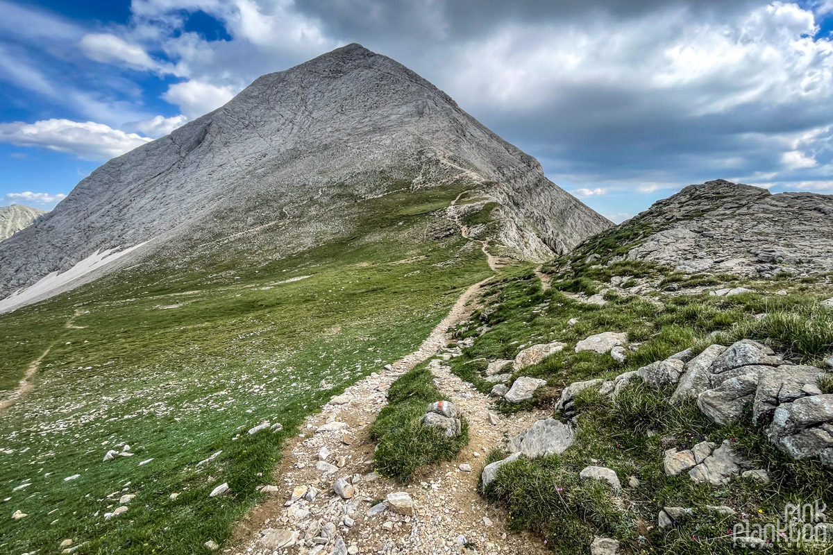
Finally back to normal ground. This is where the loop begins again towards Vihren Peak, and where I realized there is no way I can climb that (plus the two more hours of downhill afterwards), so I went the same way I came. 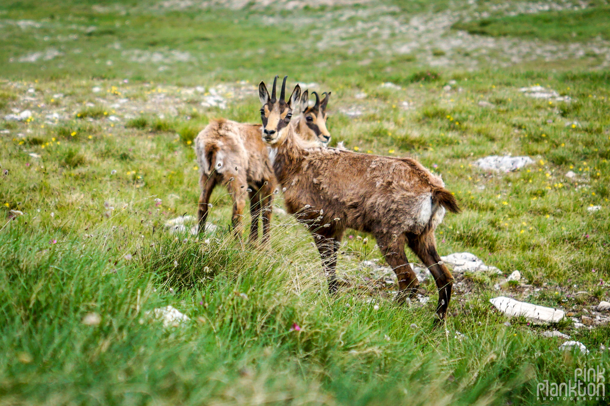
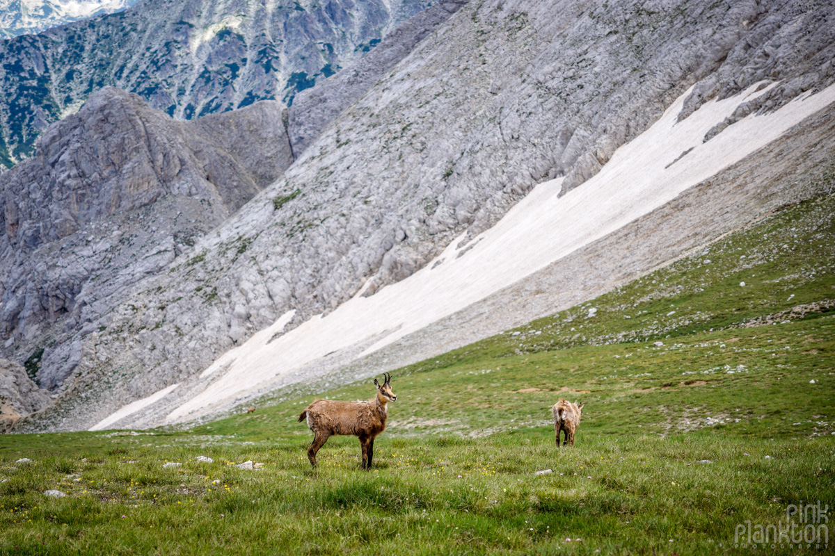
Beautiful wild goats!
